
كتب: أ.د.أحمد ملاعبة .. والإعلامي أسعد العزوني
يطل وادي الموجب من الأفق الجنوبي البعيد في منطقة جنوب ذيبان ومرتفعات بلدة شيحان حيث كانت الارض الأرض طبقا واحدا ،وكان هذا الطبق طبقا كبيرا بحجم صفيحة داخلية قارية صغيرة، هذه الصفيحة تكسرت عند حدود بلدات القطرانة والجديّدة والسمّاكية،ومن إرتفاع يعادل نحو 850 م ،بدأت الروافد والمسيلات تنحدر من الطبق الصخري الكريتاسي أو الطباشيري من حقب الحياة المتوسط،لتعمل شبكة من الأودية تجمعها عدة نقاط من الإلتقاء،ولكن أجمل نقطة فيها هي عند موقع سد الموجب ،حيث أنشيء هذا السد على منطقة ضيقة تستطيع أن توفر أرضية إنشائية لسد إسمنتي.
هذا السد يشكل ذراعين تتدفق عبرهما المياه لتتشابك القطرات عند منطقة السد،وكانت في السابق تتدفق طوال العام من قلب حوض البحر الميت المائي الممتد من حواف البحر ولتغطي محافظتي مادبا والكرك.
هذان الذراعان أحدهما أطلق عليه تجمع وادي السلايطة ،والآخر تجمع وادي نخيلة،وقد تجمعت على أكتاف الوادي في الأعلى بعد السد قرى بلدات ذيبان والشقيّق والياهون والرامة،وعلى الكتف المقابل بلدات المغيّر وفقّوع،وقرية صغيرة جديدة أطلق عليها إسم أريحا ،تيمنا بمدينة أريحا الفلسطينية على الجانب الغربي المقابل للبحر ،وهي أقدم مدينة في التاريخ.
الناظر من الأعلى يتساءل بكل غرابة :ماذا حدث في المكان ولماذا كل هذه الأودية المتجدلة والمتقاطعة؟ولماذا هذه الخسفات والأحواض “الخلّة والهربّة” الكثيرة؟ولماذا تجمعت كلها هنا؟ إنها التكتونية والزلزالية الشديدة التي كسرت وطوعت المكان، وأوجبت لا بل أجبرت الماء على أن يحدث صوتا رفيف الخرير المشهور به، إنه الضجيج الشديد الدال على كثافة وغزارة المياه المنسابة من تفرعات الوادي.
الطبيعة والتضاريس في المنطقة خرجتا عن كل أعراف وقوانين الجيولوجيا ،والأشكال والتضاريس الجديدة التي تفرضها الزلازل الموجودة على طول انهدام نظام فوالق البحر الميت.
أرنون إسم آرامي عرف به الوادي،وهو كلمة آرامية تعني المياه،والتي كانت متواجدة بغزارة في النهر لدرجة أن الوادي عرف قديما بإسم نهر أرنون، وتجلت عظمة أرنون إذ كانت هي الحد الفاصل بين مملكتي المؤابيين جنوبا والعمّونيين شمالا والتي ورد ذكرها جميعا في مسلة الملك الموابي ميشع.
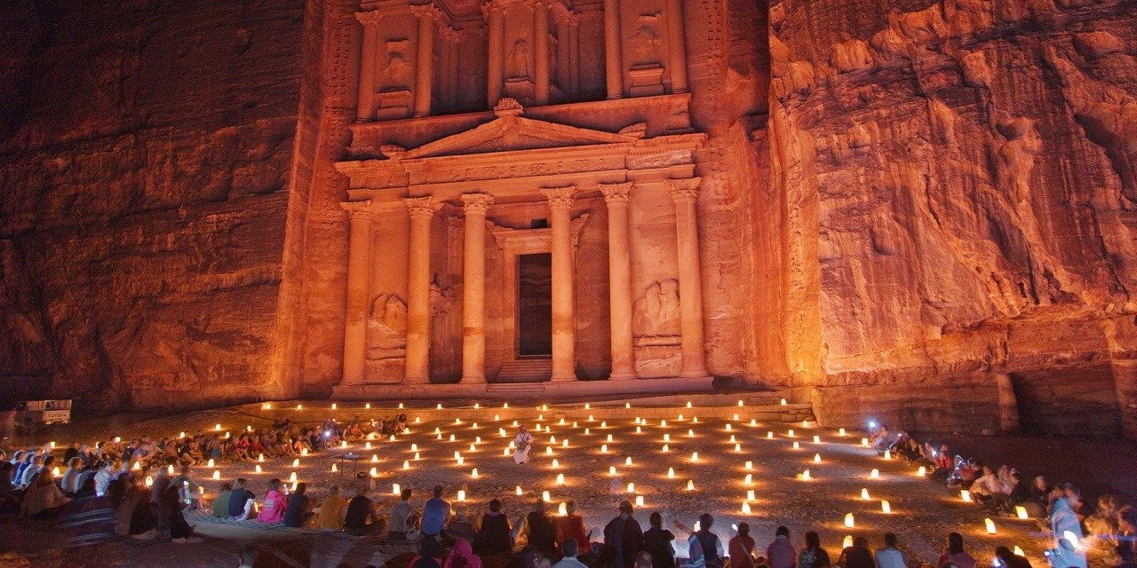
هذا النهر كان يغذي حوضه السطحي البحر الميت،وبمعدل سنوي أكثر من 40 مليون متر مكعب، وكان نهر أرنون او الموجب يفيض في الوادي حتى منتصف سبعينيات القرن المنصرم، وخصوصا بعد لقائه بالوادي الجميل الذي يقع إلى الشمال منه وادي الواله الذي يزداد عمقا بإتجاه الغرب،ويبدو وكانه قد هبط أو هدّ،ولذلك أطلق عليه إسم وادي الهيدان ،الذي يلتقي عند نقطة أطلق عليها الملتقى أي إلتقاء وادي الموجب مع وادي الواله”جزء الهيدان”،بحيث يصبح الوادي ذي مسار ضيق،بعد أن كان بإتساع شديد وكأنك تسير في سيق يشبه سيق أيقونة الزمان البتراء،وفي هذه المنطقة التي تقابل البحر الميت مباشرة والتي لا يمكن تجاوزها إلا من خلال الجسر الذي أنشيء على الوادي.
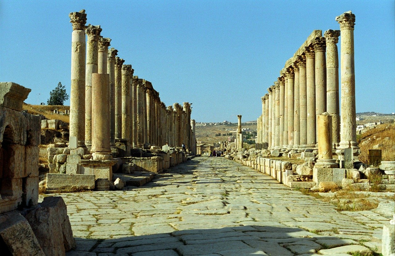
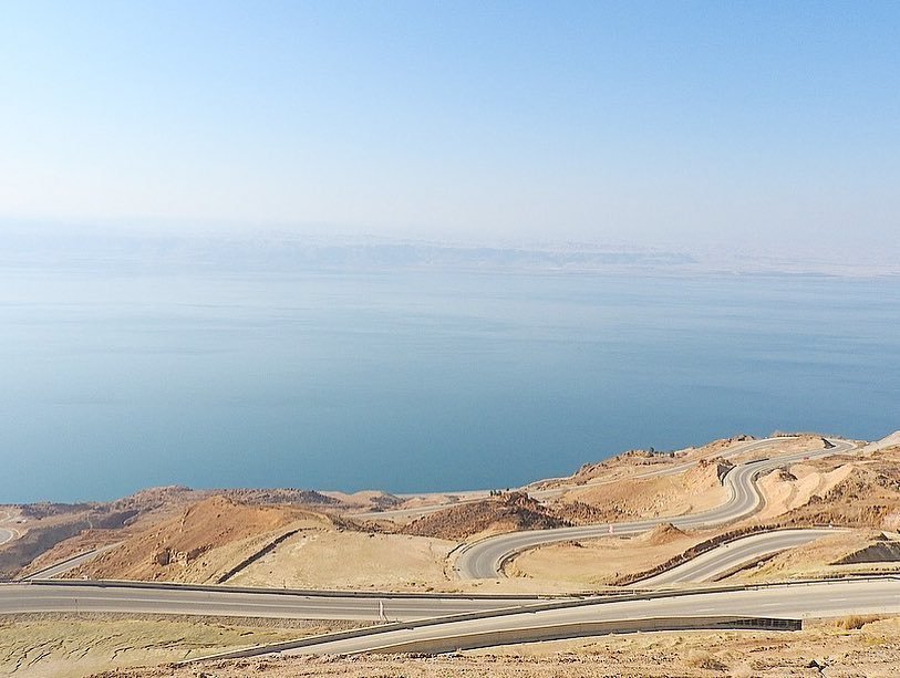
لا تزال أكتاف وادي الموجب تحمل بقايا الطريق الملوكي الذي أنشأه الأباطرة الرومان مثل طريق تراجانوس،حيث الرصفة الرومانية والأعمدة الميلية،وتتجدل الطريق الإسفلتي الحديث بطريقة فيها انحناءات وإنحدارات ،لا يمكن إلا أن يطلق عليها طريق الجمل،لأن منظرها من الأعلى يوحي بأنك تسير على حواف وكانك ترسم شكلا لجمل،وقبل منطقة السد تلتوي الطريق وتنحني وكأنها ترسم شكل الديناصور.
بعد أن يقطع الوادي ثلاث كيلومترات من نقطة الملتقى ،يتفرع عند نقطة الجسر ونقطة الفيضية التي تشكل أمام أفواه هذين الجزئين من الوادي فيضة رسوبية ،تمتد إلى عشرات الأمتار في البحر وكأنها منطقة لسان مصغر.
بعد أن تشقق الوادي بشكله الحالي ،عاد مرة أخرى ليمتليء بالإنسيابات البازلتية العظيمة التي ثارت من ستة مواقع فوهات رئيسية أهمها شيحان وغطت ما يقارب من ثلثي الوادي بهذا الصخر البازلتي الأسود،وكأنك قد سلطت صبّة إسمنتية ،ولكن في حالة وادي الموجب كانت الصبّة بازلتية سميكة،بحيث أصبح الوادي مرة أخرى وكأنه على إستواء أخفى هذه الإنسيابات الضخمة،وكل التشكيلات والتعرجات الرئيسية التي ذكرناها ،ولكن هيهات أن يصمد هذا الأسمر الصخر الصلب أمام ليونة المياه التي أمعنت فيه وأذابته وازاحته وقطّعت أوصاله،وأعادت للأودية هيبتها وجمالها السابق .
ولكن ما تبقى من الإنسيابات البازلتية على جنبات الوادي شمالا وجنوبا شكّل مناظر من جماليات متنوعة،جزء منها أعطى أعمدة بازلتية وآخر أعطى كتلا أكبر مما تتصور،يتراوح قطر الكتلة أو الجلمود الواحد من 5-10 أمتار.
وهذه التشكيلات المتبقية فيها جماليات تنافس المواقع البازلتية الشبيهة في العالم ،مثل أعمدة البازلت في سانتا كارينا في المكسيك،والتي هي بذاتها هدف ليس فقط للسياحة العلمية،بل للسياحة الجيولوجية في العالم،الأمر الذي يتطلب تسويقها ليرى الناس جمال المكان وروعة فعل الزمان في هذه المنطقة.
صحيح أن التضاريس وأنواع الصخور البازلتية والجيرية والرملية ،تفرض هيبتها على المكان ،ولكن عوامل التجوية بفعل المياه والرياح وفرت أراض بين هذه الأودية ،أو على جنباتها بتربة خصبة قابلة لزراعة ،ولذلك نجد الأشجار الحرجية مثل الكينا والسرو والبطم الأطلسي قد نمت وترعرعت في المنطقة،إضافة إلى الرقع الزراعية التي تنتج الثمار الطيبة من الخضروات والفواكه مثل الخيار والبندورة والفليفلة الخضراء والمشمش والبطيخ،والكثير الكثير من الذي أبدعت زراعته أيدي المزارعين.
وهنالك تنوع نادر من الكائنات التي تعيش في الوادي مثل الضفادع الخضراء التي تطمر نفسها في التراب لستة أشهر،إضافة إلى الكثير من الزواحف التي تعشق السبات مثل الأفاعي والسحالي، وأيضا أنواع كثيرة من الفئران ،وربما تتفاجأ عندما تسمع أصواتا لمختلسات مثل الواوي والحصيني والثعالب والذئاب ،وربما الضباع أيضا، كما نسمع من روايات القاطنين في الوادي.
وادي الموجب بجمالياته التي ذكرناها يتطلب أن يكون أحد محميات الأودية العملاقة العالمية، لأن كل المقومات الطبيعية والبيئية التي تحقق مواصفات وشروط اليونسكو بإدراجه ضمن قائمة محميات التراث الطبيعية والمتنزهات الجيولوجية،ولا نغالي عندما نقول أن إعداد ملف ممتاز عن هذا الوادي سيجعله يفوز إن لم يتصدر قائمة محميات الأودية في العالم.
إن الفيضانات …….. في الوادي ورغم وجود السد اليوم،خصوصا في المواسم المطيرة أو الفيضانات الوميضية، وقد حدثت العديد منها قبل عامين ،ولا تزال الصور الوثائقية تدل على على أن الماء كان يرتفع في الجزء الأخير أو ما أطلقنا عليه سيق الموجب الى أربعين مترا، ولقد أنشئت في فترة سابقة المعلقات الإسمنتية على إرتفاعات تزيد عن 50 مترا في الوادي، ولا تزال بعض شواهدها موجودة حتى يومنا هذا ،وكانت تستخدم لمراقبة مستوى المياه ولإجراءات السلامة العامة.